
Industry Applications
Find the Right Tool for Your Project
Applications

Lithium Brine Characterization
What is the best method for lithium brine characterization? Our geophysical method has been successfully utilized in the characterization of lithium brine. Unlike other EM methods, our geophysical investigations can extend to deep horizons and provide valuable information to aid in the exploration of this resource.

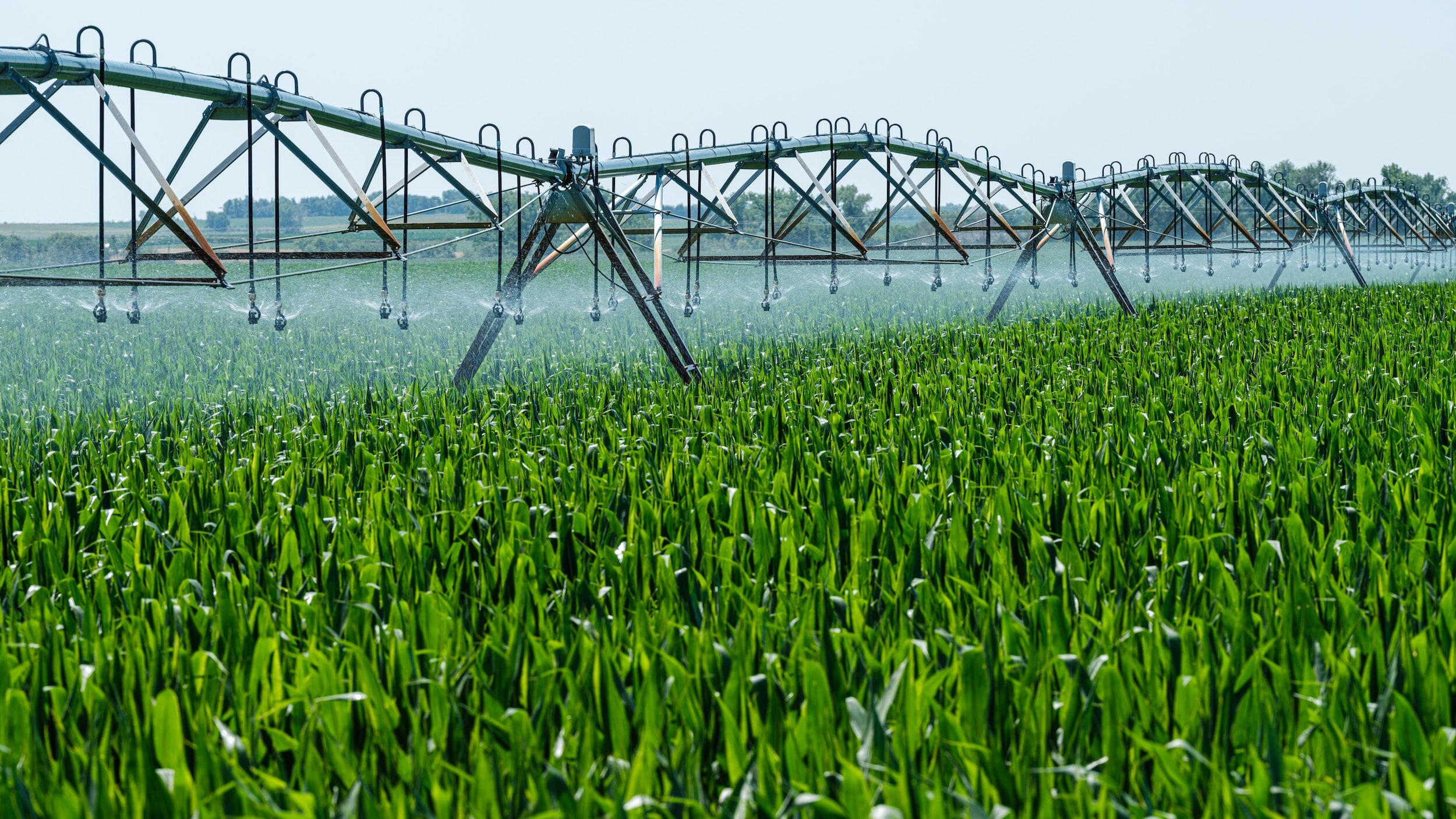
Irrigation
Where should you drill a new water well? Utilizing geophysics on your property can provide crucial aquifer information and provide a new or replacement well location. Decrease the total cost of drilling with concise locations and depth to avoid blindly drilling test holes. We integrate all of our images with existing well and aquifer information to give you a comprehensive understanding of the aquifer(s) beneath your property.

Agriculture
Where should you drill a new or replacement agricultural/livestock well? Our geophysical method provides concise location and depth information for a new livestock well. In some cases, our images can observe general improvements in water quality so that livestock can drink the cleanest water possible.


Property Development
New development, whether commercial, industrial or residential, requires water. Utilizing geophysics to characterize the subsurface before construction begins can mitigate risk, guide design, and provide an understanding of site conditions in the planning phase of the project.
Engineering & Infrastructure Planning
Whether your goal is to utilize non-invasive, high-resolution subsurface data for well siting, understand complex hydrogeologic conditions, optimize well design based on anticipated aquifer depth and relative water quality, investigate maximum freshwater or brackish water yield, assess the feasibility of aquifer storage and recovery (ASR) or managed aquifer recharge (MAR), or acquire subsurface data for mining, tunneling, or infrastructure projects, Rockfish Aquifer Imaging delivers data-driven insights that add value at every project stage—empowering confident, informed decision-making.